Image Annotation 
By: TerrainDrop on Aug. 1, 2022, 6:48 p.m.
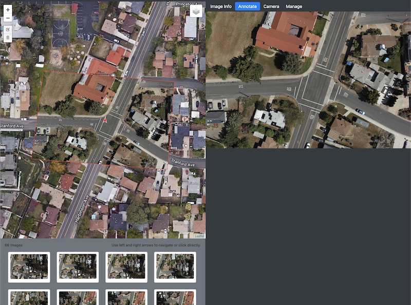
From the Image Detail page you can annotate images to highlight areas with arrows, lines, text boxes and scale markers.
To access the Image Detail page click on the image preview in the bottom right of the map when viewing a dataset.

This will show the Image Detail page which shows a higher resolution version of the image on the map, various controls on the right and all of the overlapping images in the bottom.

Click on the 'Annotate' tab to show the image.

Click on the image to open up the annotation tools.

Add annotations as needed.

The X button cancels out without saving the modifications. The checkmark saves the modifications and gives you an option to transfer the annotations to the map. This image shows the result of the annotations being transferred to the map.

If the map annotations need to be modified you can click the edit button and make any necessary changes. Hit 'Save' when you are done.

Notice how the annotations on the image and the map line up nicely.

The annotations that are transferred to the map now show in the Dataset Detail as well.
